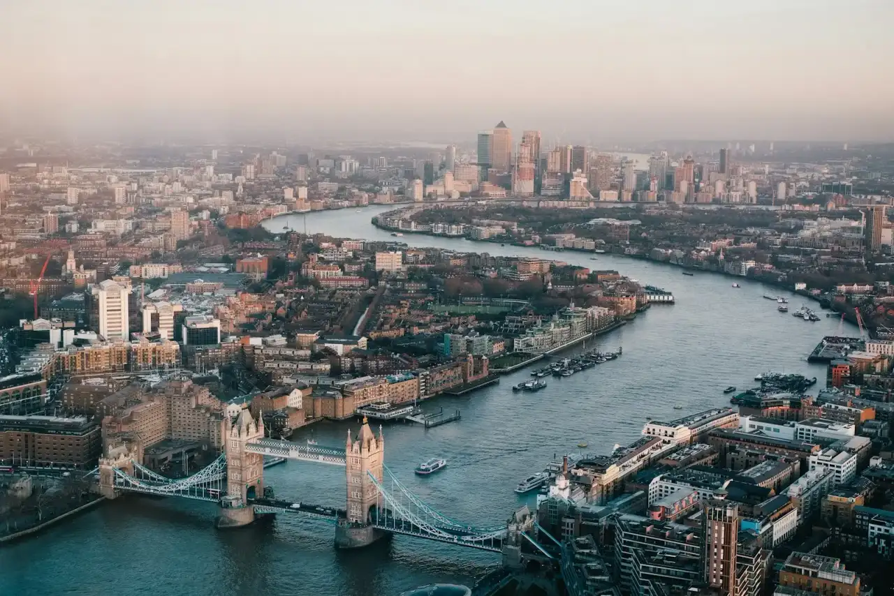
The civic starting point for this city is Greater London Authority.
Official place: Hyde Park (The Royal Parks). A large central park whose surrounding streets carry stacked utilities typical of the West End fringe.
Official place: City of London Corporation. The Square Mile’s basements, lanes and river edge are a textbook dense-utility environment.
Why London still needs quality levels, not photocopies
London’s buried network is the product of two centuries of private companies, municipal schemes, wartime repairs and later fibre. A statutory return is a starting point. It is not a surveyed position. PAS 128 exists so a designer in the capital can see whether a line is QL-D (a record), QL-C (supported by a cover or marker), QL-B (detected) or QL-A (exposed). That language is more useful in a site meeting than a coloured PDF with no provenance.
The Greater London Authority describes the city’s planning and infrastructure context on london.gov.uk. We use that official site as the civic reference, not as a claim of appointment. The same honesty applies to named places. Hyde Park, managed by The Royal Parks, sits among some of the busiest service corridors in the West End. Work on its fringe — hotel basements, highway schemes, event infrastructure — is exactly the sort of ground where Type B detection earns its fee. The City of London adds a different grain: medieval lanes, deep basements and river-edge constraints where an assumed alignment is a programme risk.
We do not invent a portfolio of London jobs. The Elizabeth line corridor and later over-site development are discussed on this site as a national project environment, not as a client list. If your plot sits near that corridor, the specification question is the same as anywhere else in the UK: which quality level do you need on which crossing?
Typical London briefs we can scope
A desktop utility study is almost always the first paid step. Multiple statutory owners, plus Transport for London assets and private basement networks, mean the Type D plot is busy. Type C reconnaissance then tests that plot against covers in the carriageway and footway. Type B pairs electromagnetic locating with GPR because plastic water and fibre ducts will not announce themselves to a locator in a Westminster or Southwark street any more than they will in Leeds.
Trial holes are reserved. A QL-A exposure on a critical crossing beside a station box or a pile cap can be cheaper than a redesign. Opening every linear metre of a London footway is rarely the right answer. Read trial hole verification before you write “full potholing” into a tender.
Access, possessions and residual risk
London access is often the critical path: night work, bus lanes, and covers that sit in live carriageway. A proposal will say when those constraints control the programme. Reinforced slabs and saturated Thames gravels also limit radar. We write those limits down. A drawing that pretends otherwise is not a PAS 128 drawing.
HSG47 still governs how excavation proceeds after the survey. The specification does not replace a permit or a competent person on the day. It gives that person a quality-levelled plan instead of a rumour.
If you are comparing cities, Manchester has a different industrial grain but the same specification. The service areas hub lists the other UK cities on this site. For the method itself, start with PAS 128 surveys.
Working around parks, the Square Mile and the river
Hyde Park’s official pages exist because it is a managed landscape, not because we claim a works package inside the railings. The useful survey fact is the fringe: Park Lane, Bayswater and the streets that feed event infrastructure. Those corridors carry stacked utilities and frequent temporary works. A PAS 128 brief here should assume night access and a Type B pair, not a daytime locator sweep.
The City of London’s lanes punish oversized plant and reward a surveyor who can work from covers and a dense GPR grid. Basement construction is a common reason to upgrade two or three crossings to QL-A. The rest of a small City plot can often remain at detection quality if the residual-risk note is honest about radar limits under vaults and reinforced slabs.
Riverside plots add another constraint: river-wall structures, later utilities hung off older fabric, and owners who are not the usual statutory list. The desktop study must name those owners. Detection then looks for the private connections the returns omitted. We still will not invent a Tideway or Elizabeth line appointment to decorate this paragraph.
Greenwich and other Royal Parks sit in the same family as Hyde Park: official landscapes whose neighbouring streets are ordinary London utility problems. If your red line touches a Royal Park boundary, say so early; access rules are not a footnote.
Send the borough, the grid and whether TfL or a City highway authority will control the surface. Those names change the notice period. They do not change the quality levels.
If you are writing the first London brief this quarter, attach last year’s returns if you have them and say whether they pre-date a known diversion. Then name the two crossings you would actually upgrade to QL-A if the Type B drawing still argues with the record. That is a complete enquiry.
Map
Map centred on London, United Kingdom. No street address is published for this practice.